Log in
All resources
Create a design
183,459 Free Images of Maps With Figures
maps in the library of congress
west virginia
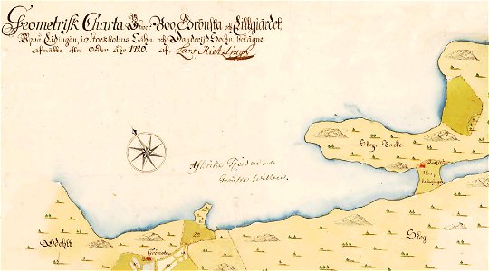
störmede
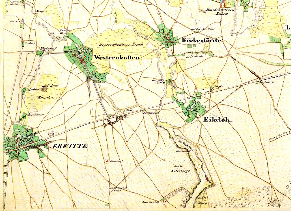
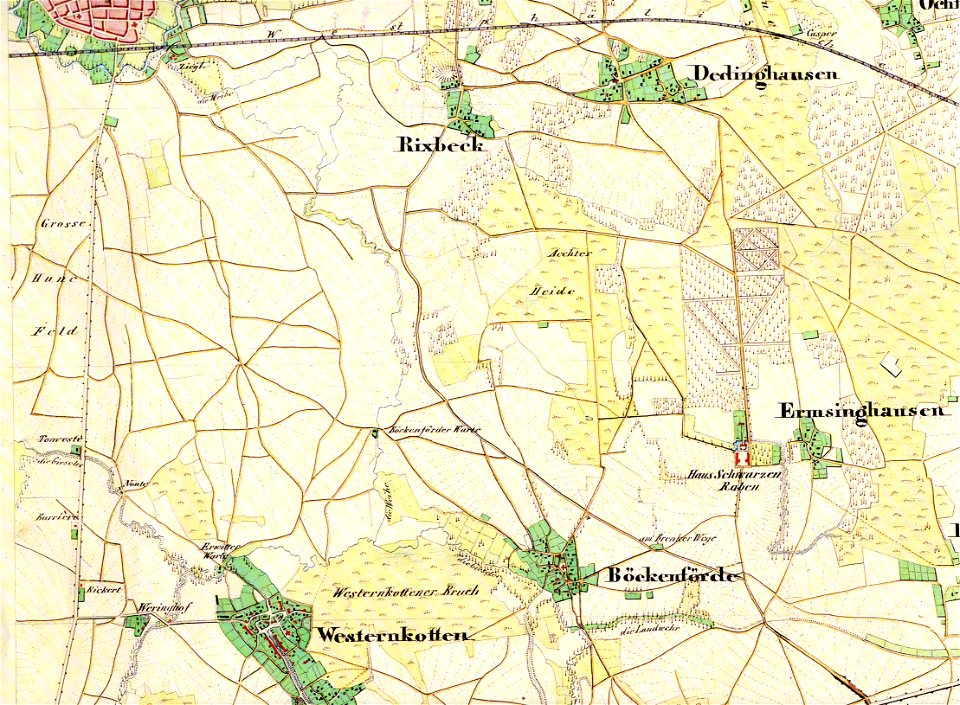
maps of lippstadt
1899 maps of west virginia
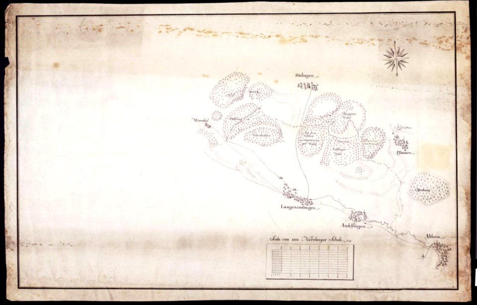
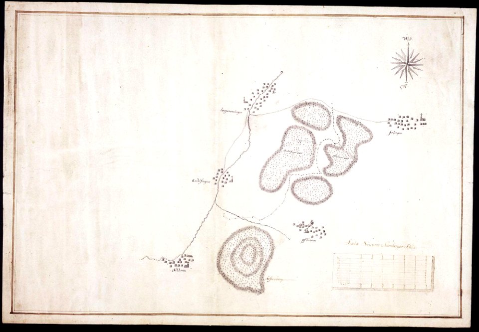
maps of württemberg
langenenslingen
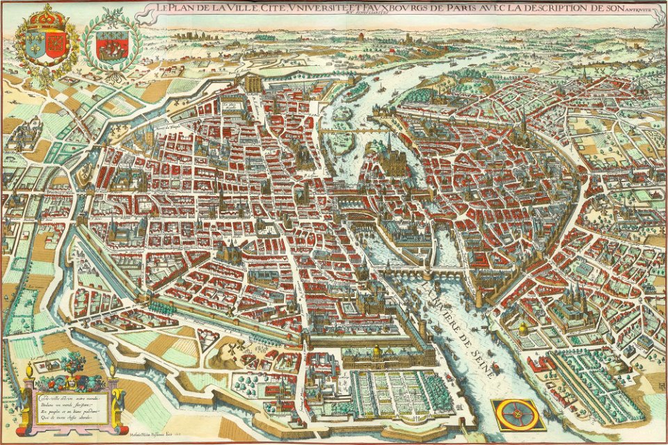
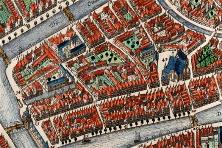
bird's eye view maps of paris
pictorial maps of paris
merian plan of paris
bird's eye view maps of paris
pictorial maps of paris
bird's eye view maps of paris
pictorial maps of paris
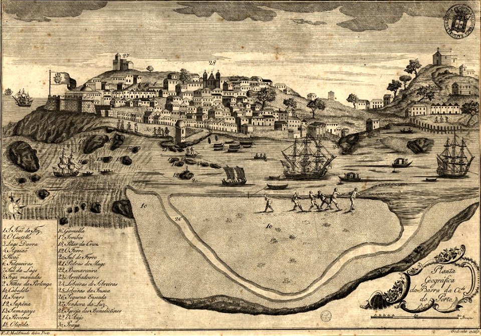
1780s maps of portugal
1789
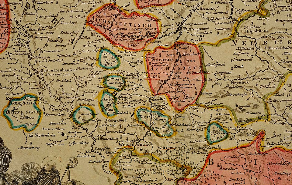
maps of the prince-bishopric of eichstätt
johann baptist homann
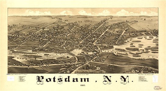
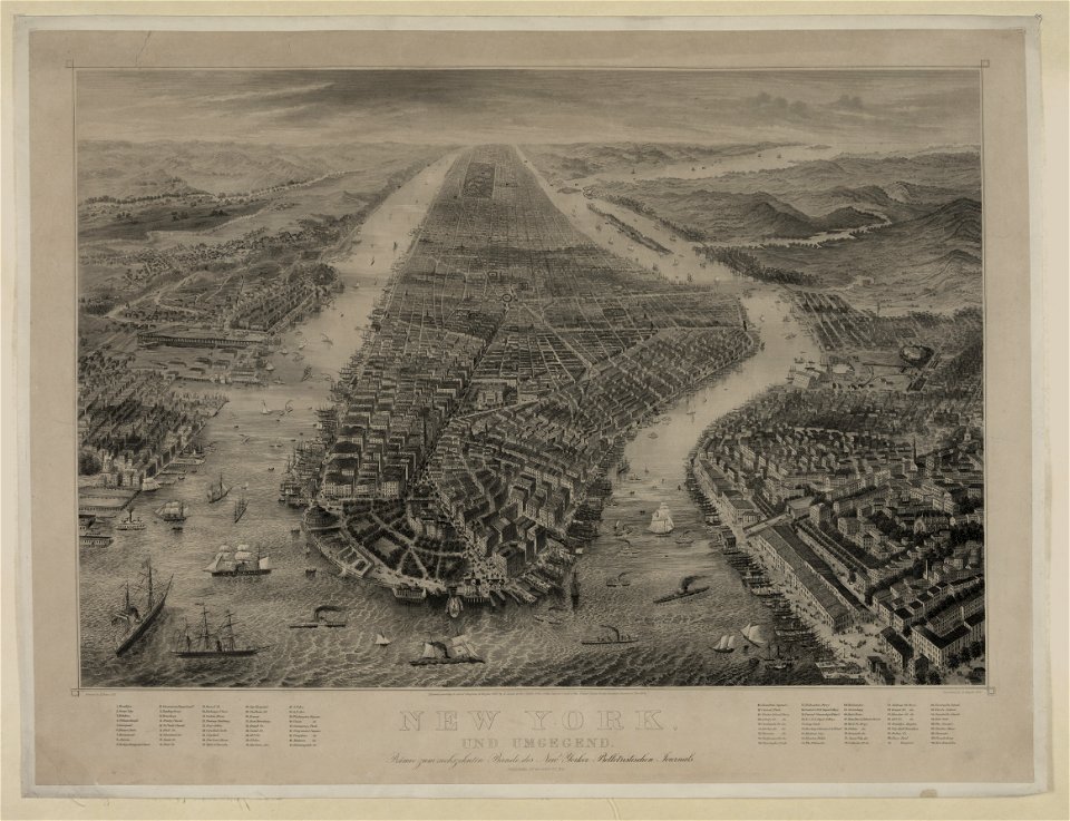
new york
potsdam
charts and maps of the royal museums greenwich
1682 maps
cosmographia claudii ptolomaei alexandrini
latin-language maps
west virginia
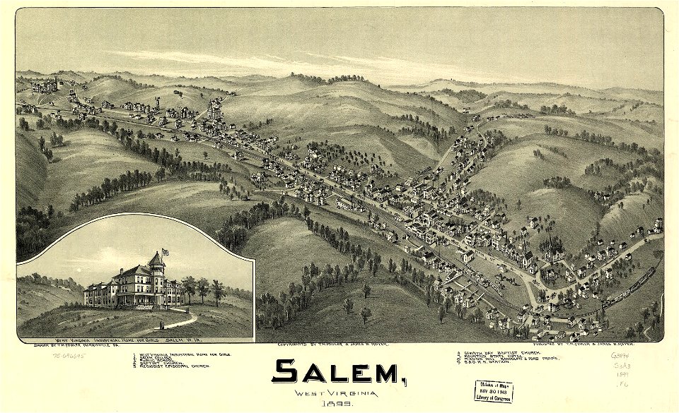
salem
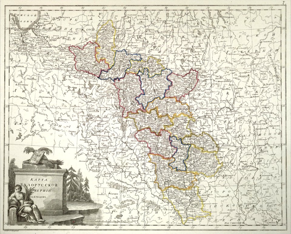
atlas of the russian empire (1800)
old maps of belarus
west virginia
salem
engravings by matthäus merian
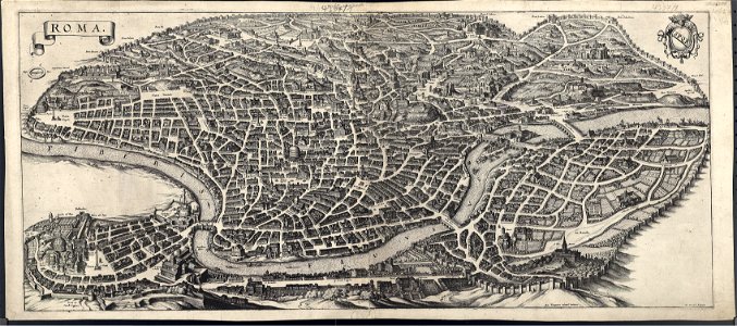
old maps of rome
schloss rosenstein
maps of stuttgart
italian riviera
1773
bird's eye view maps of new york city
1867 maps of new york (state)
maps in the library of congress
west virginia
maps in the library of congress
west virginia
bibliothèque municipale de reims
rès. g 152
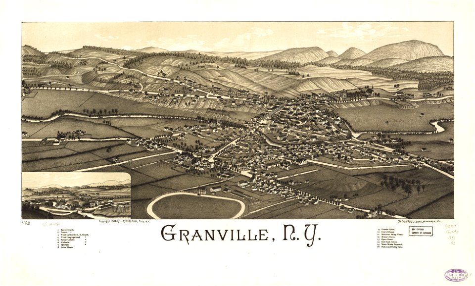
granville
new york
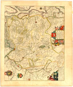
maps of territories in the burgundian circle
atlas novus (blaeu)
old maps of gelderland
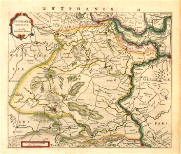
old maps of zutphen
maps of territories in the burgundian circle
atlas novus (blaeu)
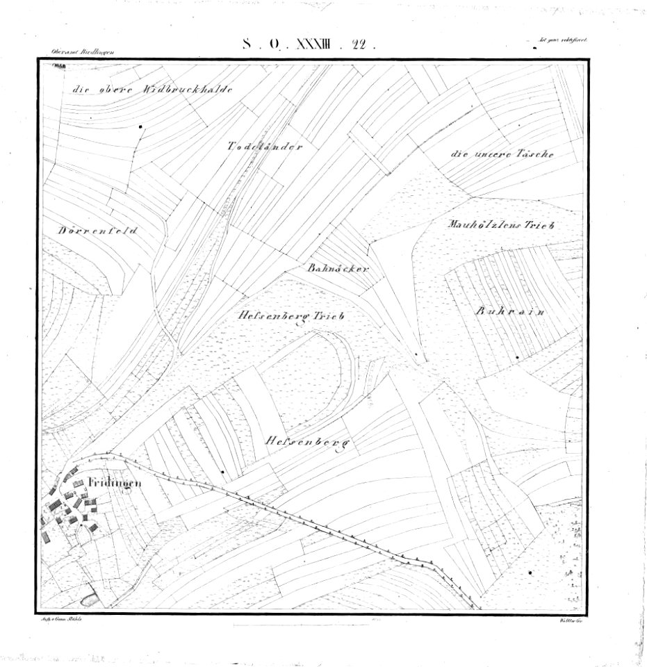
württembergische flurkarte 1:2.500
heilbronn
west virginia
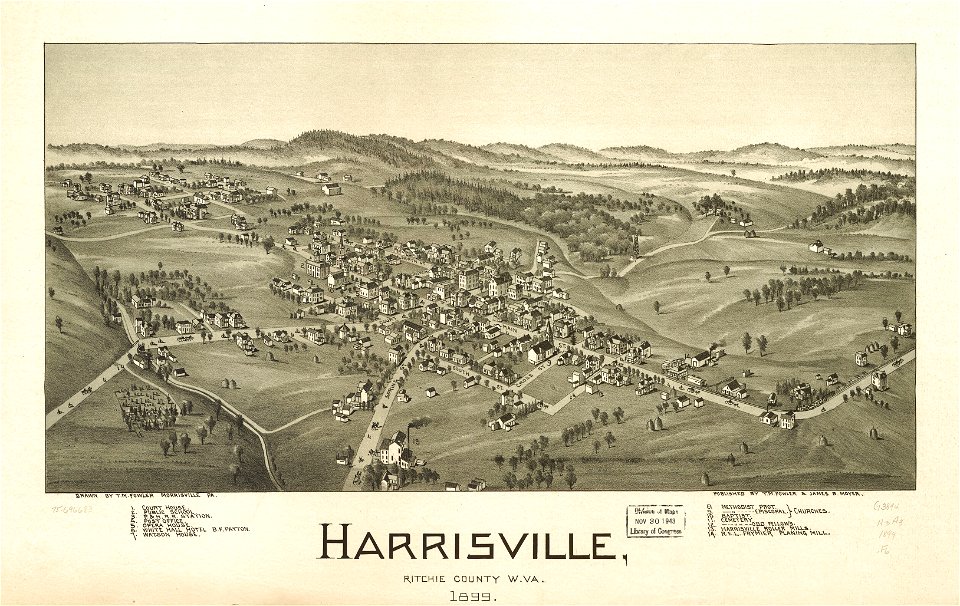
harrisville
maps by brockhaus
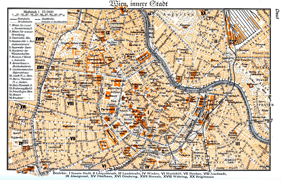
1937 in vienna
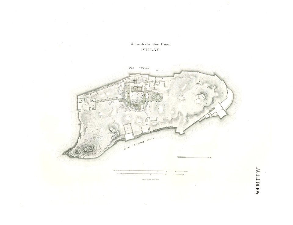
lepsius-projekt - maps
floor plans of philae
west virginia
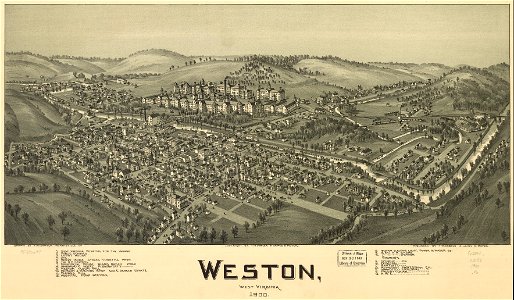
weston
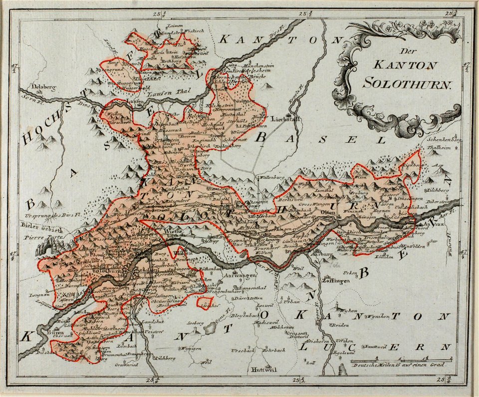
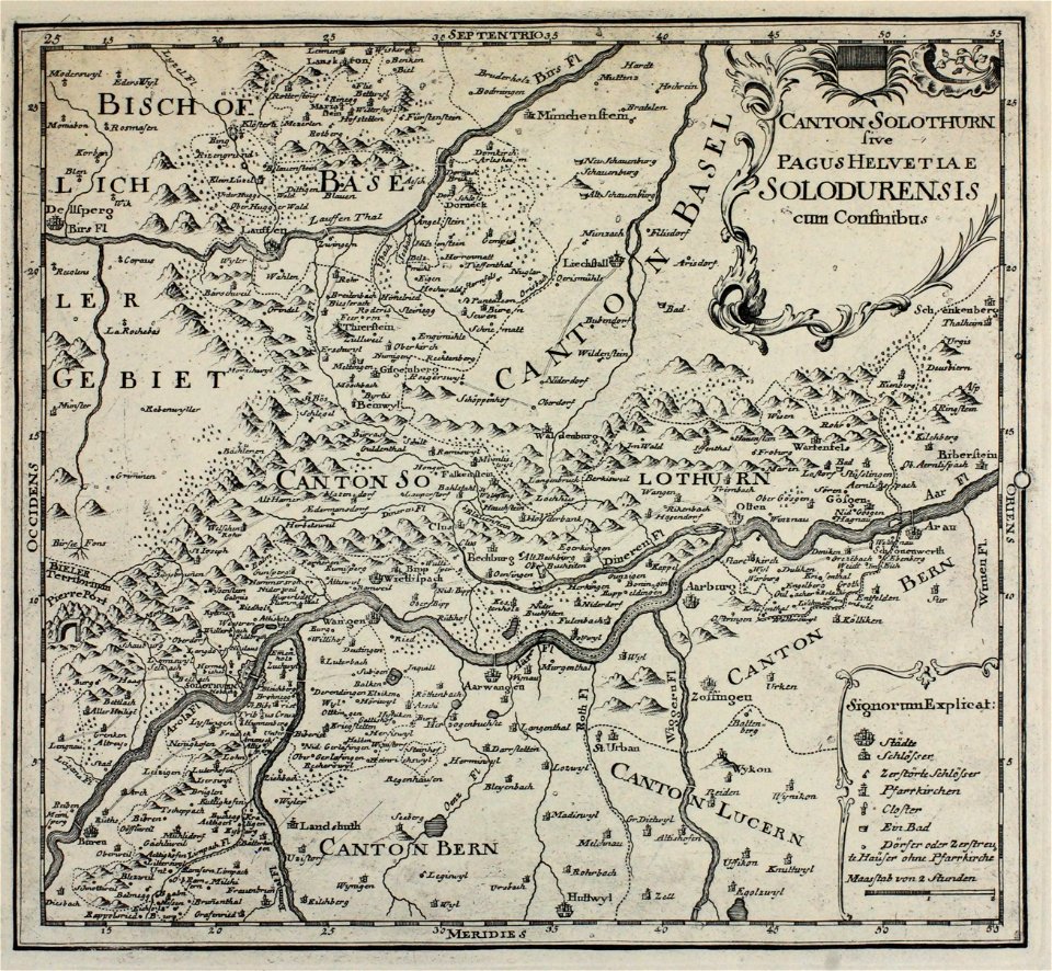
historical images of solothurn
old maps of switzerland
historical images of solothurn
old maps of switzerland
historical maps of warsaw
henryk marconi
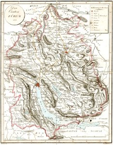
old maps of the canton of zürich
heinrich keller
prints from the peace palace library
old maps of zeeland
bird's eye view maps of paris
pictorial maps of paris
popular science monthly illustrations/volume 11
1877 maps
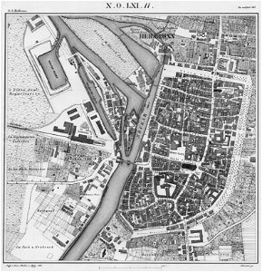
parts of old maps of cologne
maps by matthäus seutter
new york
warsaw
west virginia
weston
theodor de bry
amazon
maximilien de béthune
duc de sully
maps of the dutch east india company - madagascar
1635
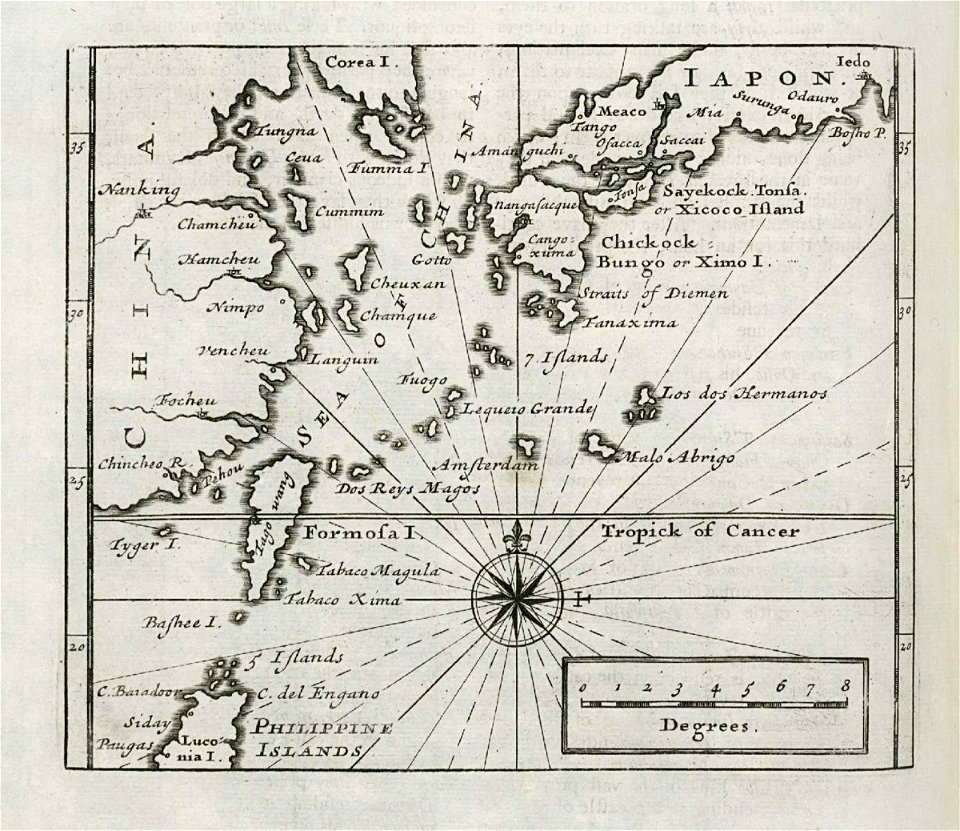
maps of the dutch east india company - japan
1732
maps made in the 17th century
gerard valck
maps made in the 18th century
gerard valck
university of toronto wenceslas hollar digital collection
hollar maps and plans of london
cornell university library
puritan
maps in utrecht university library
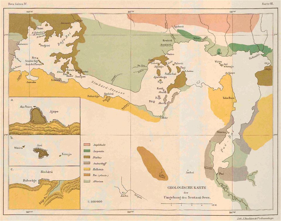
lake sentani
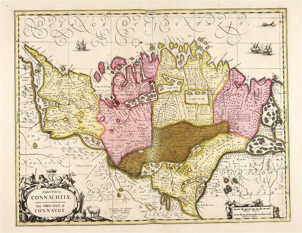
old maps of ireland
gerard valck
coats of arms of breda
netherlands
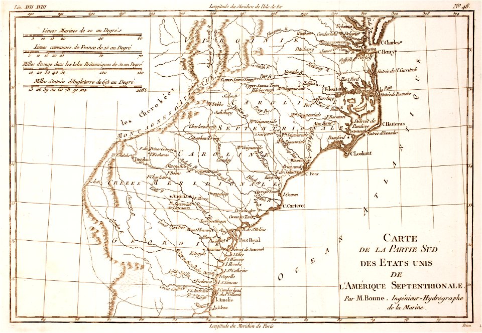
18th-century maps of north carolina
1780 maps
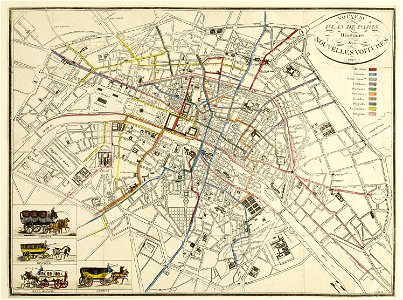
horse-drawn buses in paris
historical buses in paris
images from the bulgarian archives state agency
maps by sebastian münster
holy trinity with the holy spirit depicted as a dove on paintings
paintings of the holy trinity as three figures
j. c. leyendecker's saturday evening post covers
the saturday evening post, 1916
ada lovelace by alfred edward chalon
closed mouths in art
paintings by arthur streeton in the national gallery of australia
heidelberg school
old maps of leiden
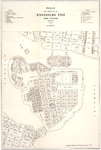
maps of gamla stan
maps of éfaté island
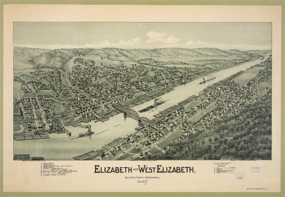
1897 maps of pennsylvania
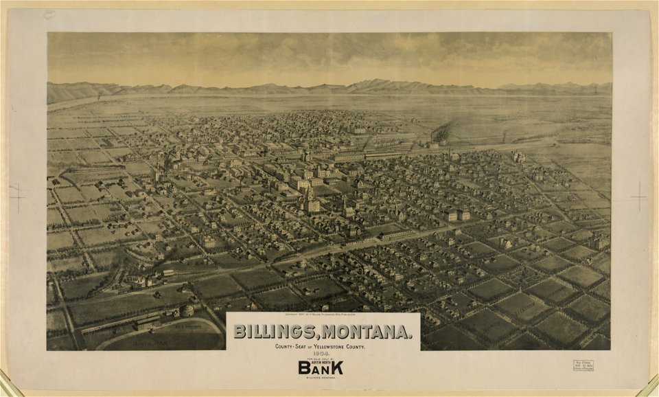
maps of billings
montana
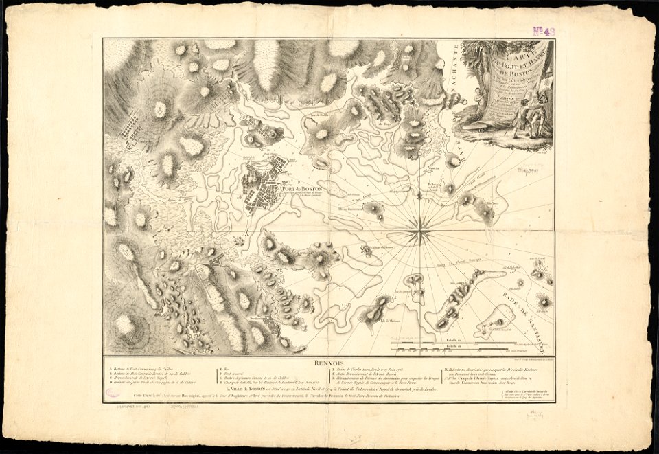
1776 maps of boston
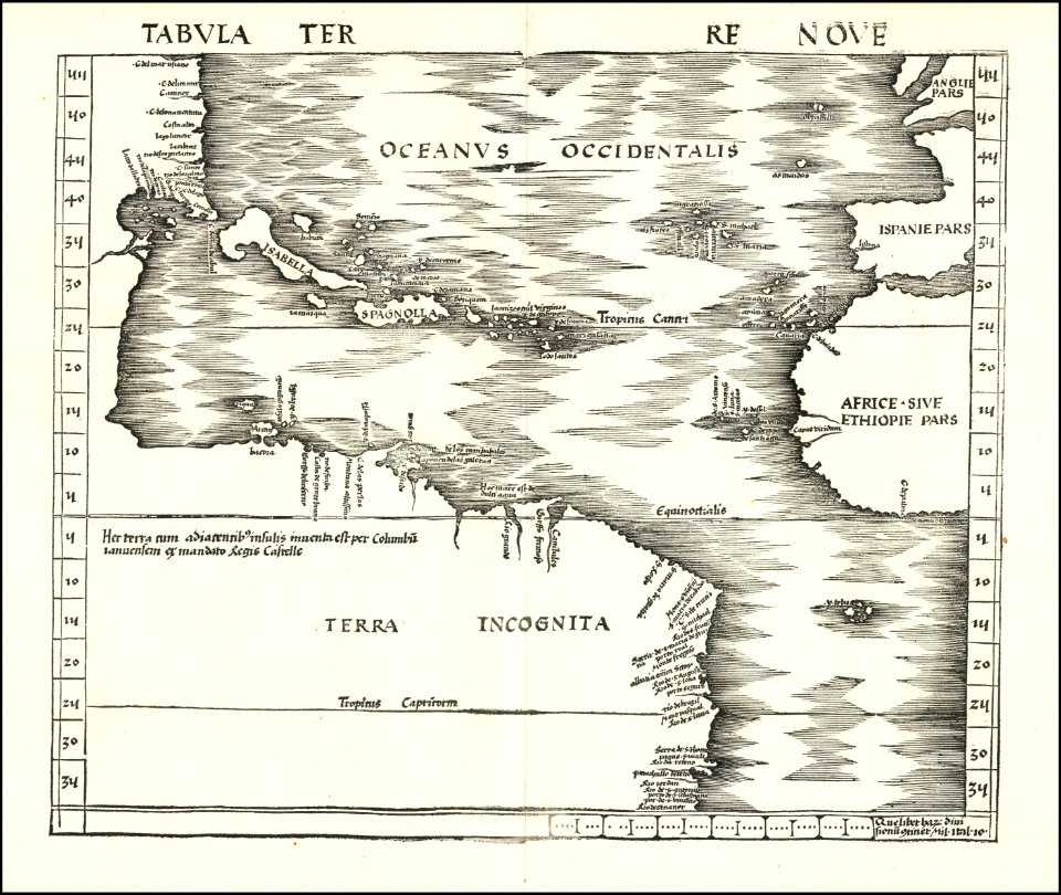
maps by martin waldseemüller
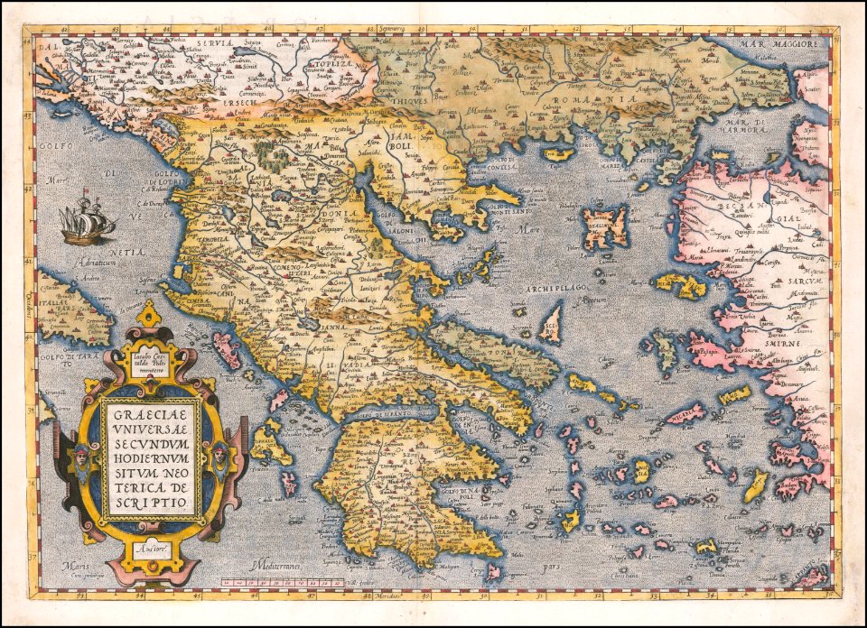
maps by abraham ortelius
old maps of anjouan
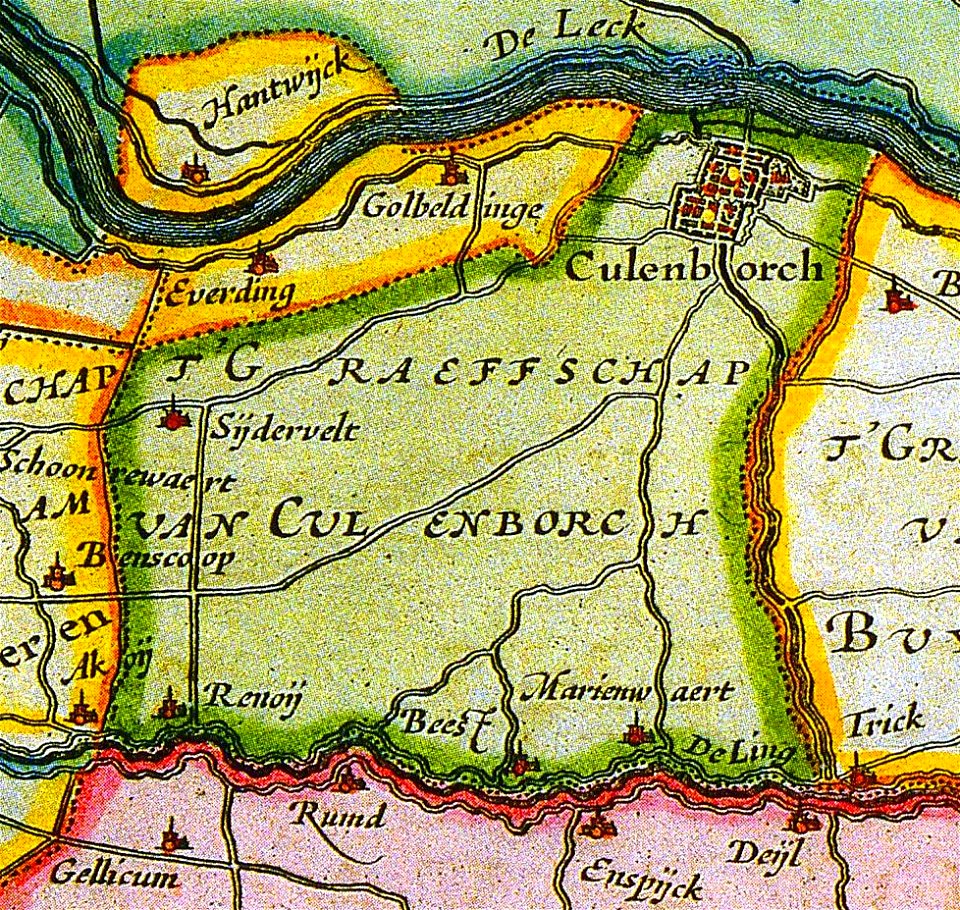
old maps of culemborg
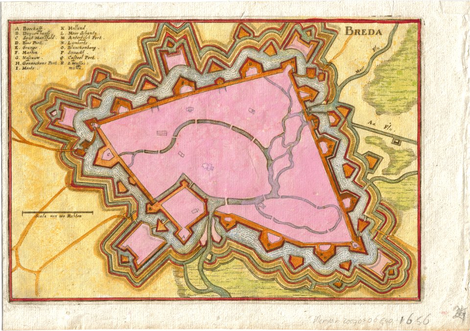
old maps of breda
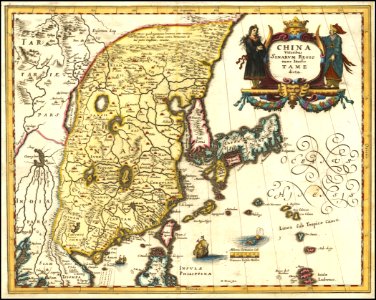
maps by sebastian münster
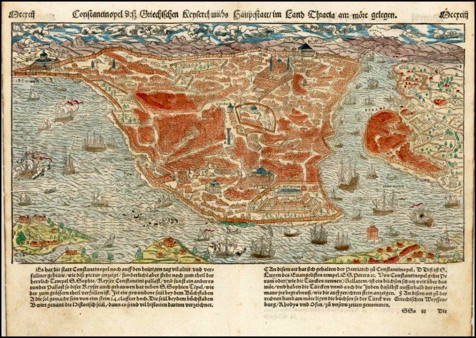
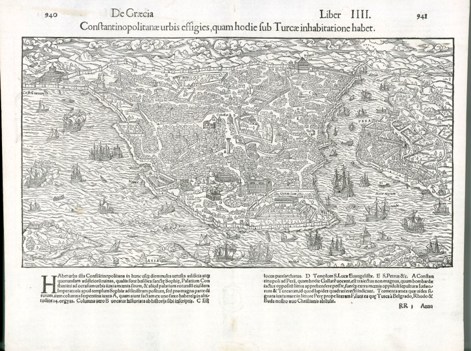
old maps of istanbul
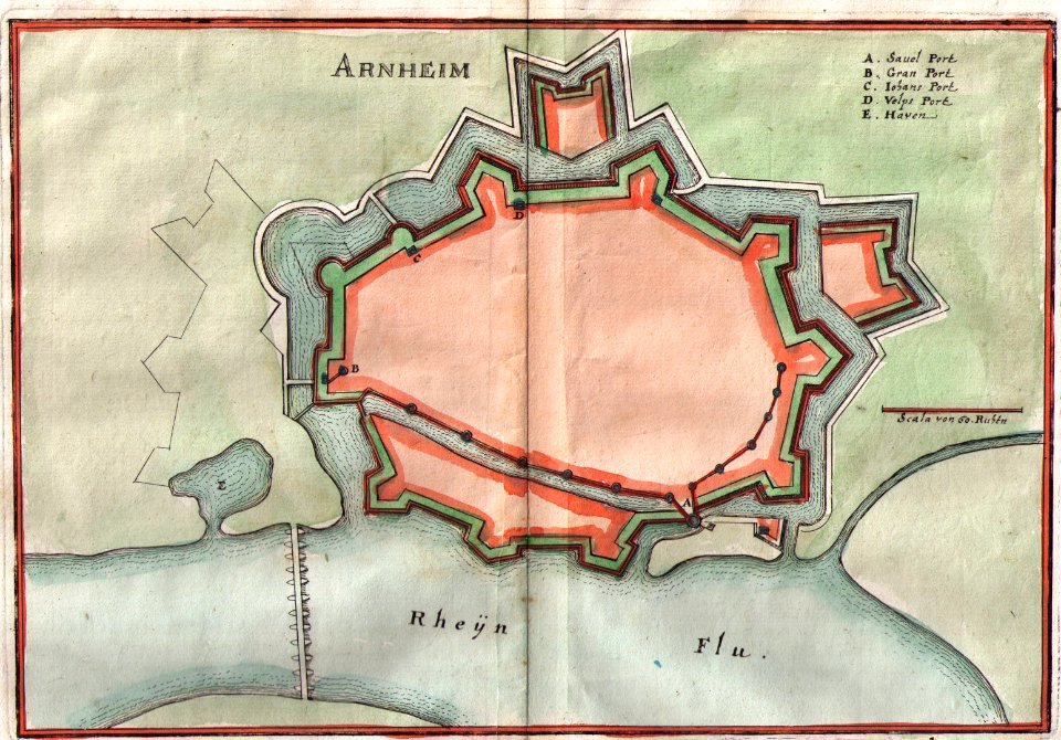
old maps of arnhem
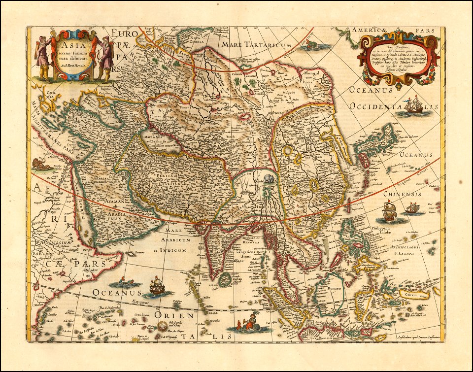
maps by jodocus hondius
matthäus merian
1636 maps
maps by matthäus seutter
maps of württemberg
langenenslingen
maps of württemberg
langenenslingen
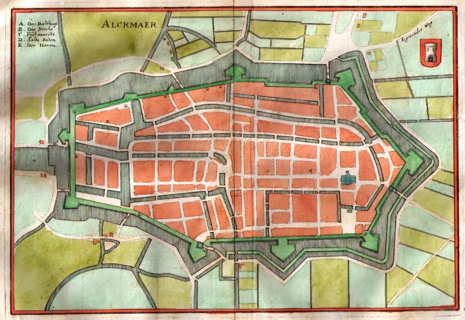
old maps of alkmaar
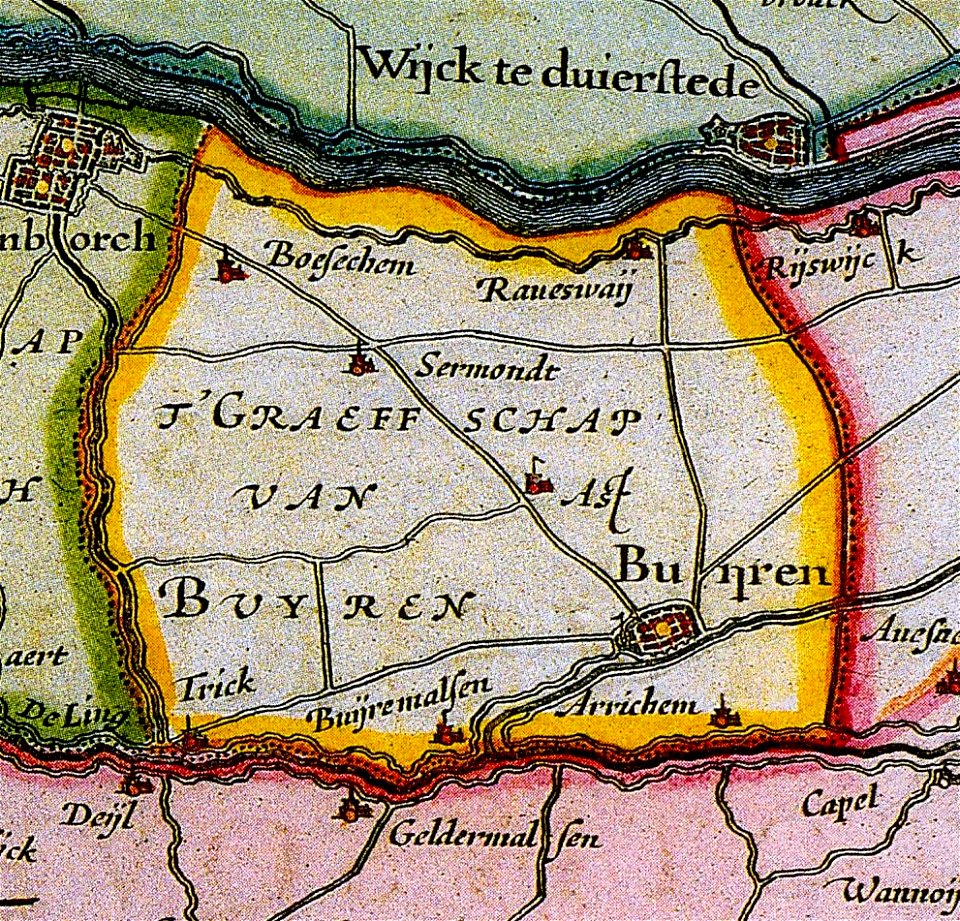
maps of buren
gelderland
maps by jodocus hondius
maps of württemberg
langenenslingen
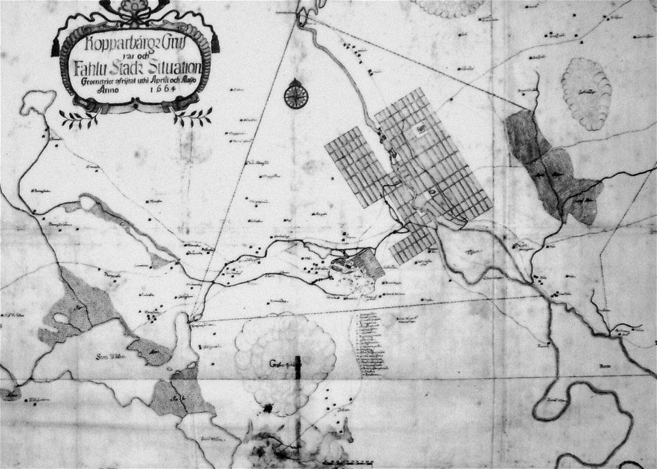
old maps of falun
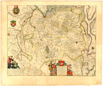
maps of mechelen
mechelen
maps of württemberg
langenenslingen
maps of lidingö
grönstaviken
maps of württemberg
langenenslingen
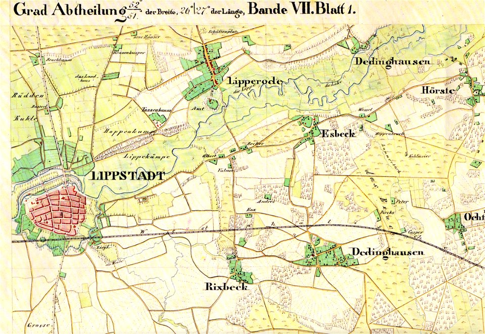
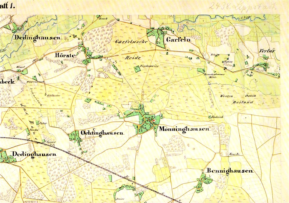
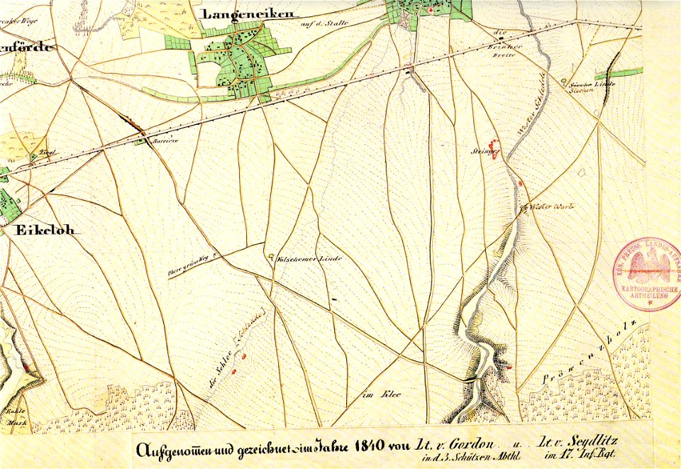
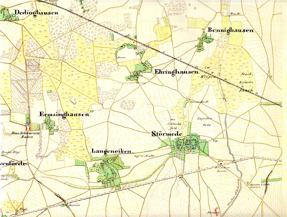
maps of lippstadt
störmede
maps of lippstadt
störmede
maps of lippstadt
störmede
maps of lippstadt
störmede
maps of lippstadt
störmede
maps of lippstadt
störmede
19th-century satirical maps
maps by antonio zatta
19th-century satirical maps
maps by antonio zatta
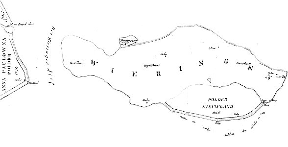
maps of wieringen
wieringen
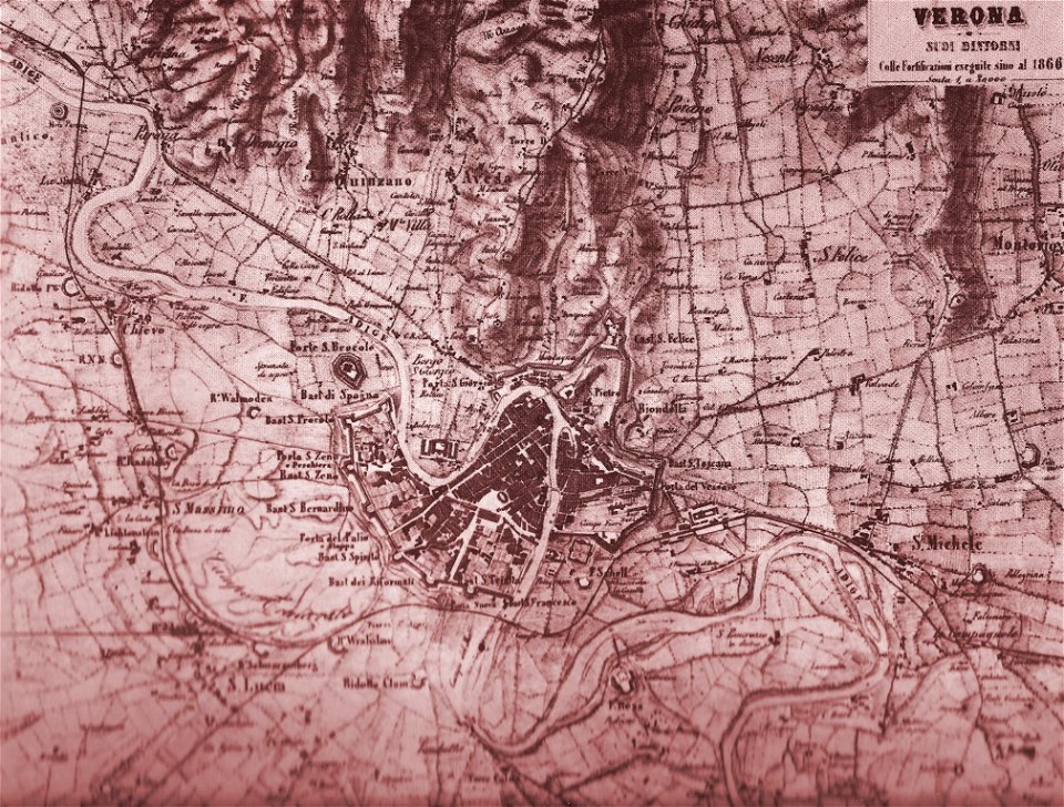
old maps of verona
lepsius-projekt - maps
abydos
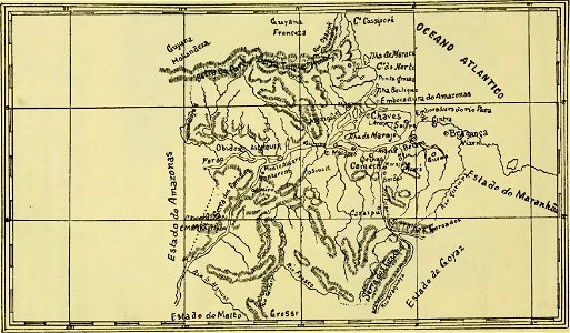
old maps of pará
maps of maui
maui
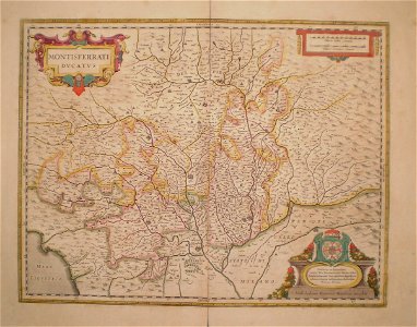
old maps of piedmont
old maps of verona
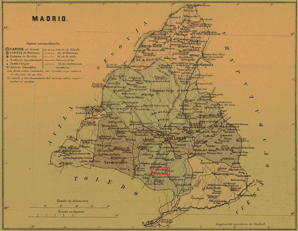
maps of parla
humanejos
4601 - 4700 of 183,459
Next page
/ 1835